Jacksonville Is Overdue for Its First 50-Degree Night: 35 Years of Data on When the Cold Arrives
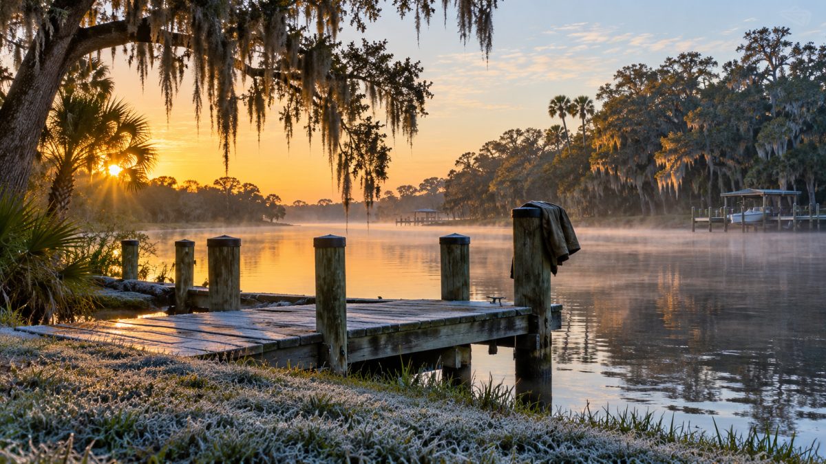
Jacksonville usually gets its first 50-degree night by Oct. 19. This year it hasn't happened yet. Illustration: AI-generated
Jacksonville typically gets its first 50-degree night by Oct. 19, based on 35 years of National Oceanic and Atmospheric Administration temperature records at Jacksonville International Airport. This fall it hasn't happened yet. The airport came within a degree on Tuesday morning, Oct. 20, when it dipped to 51, and it bottomed out at 52 on Wednesday, according to the National Weather Service's daily climate reports.
That puts Jacksonville a few days past its usual turning point from warm fall evenings to the first real sweater nights. The records also show that the first real cold usually follows several weeks later, with the first 40-degree night arriving around Nov. 14 and the first freeze around Dec. 1.
Jax Times examined NOAA daily temperature records from 1991 through mid-October 2026, including 35 complete cold seasons, to determine when temperatures typically reach major fall and winter milestones. The findings show considerable variation from year to year, including freezes as early as November and as late as January.
The analysis uses observations from Jacksonville International Airport on the city's Northside. Temperatures at the beaches, near the river and in surrounding rural communities can be different.
When does Jacksonville usually get its first 50-degree night?
The median date for the first overnight temperature of 50 degrees or lower at Jacksonville International Airport is Oct. 19. That means half of the 35 cold seasons analyzed reached that threshold by the date, while the other half reached it later.
The earliest first 50-degree night occurred on Oct. 2, 2001. The latest arrived Nov. 3, 2007, a difference of more than a month between the earliest and latest dates recorded during the study period.
Every one of the 35 seasons included at least one overnight temperature of 50 degrees or lower at the airport. What varied was the arrival date, not whether cooler weather eventually appeared.
Recent years illustrate that uncertainty. The first 50-degree night arrived Oct. 5 in 2022 and Oct. 9 in 2023, both considerably earlier than the median. In 2019 and 2020, Jacksonville did not reach that threshold until November.
This year is running late. Through Wednesday morning, Oct. 21, the coldest reading at the airport this fall was 51 degrees, on Oct. 20. If the first 50-degree night holds off past Nov. 3, it would be the latest in the 35 years of records.
When have Jacksonville's first cool nights arrived in recent years?
The following table shows the first date temperatures reached 50 degrees or lower at Jacksonville International Airport during each fall from 2016 through 2025.
| Year | First night at or below 50°F |
|---|---|
| 2016 | Oct. 22 |
| 2017 | Oct. 25 |
| 2018 | Oct. 28 |
| 2019 | Nov. 1 |
| 2020 | Nov. 2 |
| 2021 | Oct. 18 |
| 2022 | Oct. 5 |
| 2023 | Oct. 9 |
| 2024 | Oct. 16 |
| 2025 | Oct. 23 |
| 2026 | Not yet (as of Oct. 21; low so far 51) |
The dates show how much fall weather can vary even within a relatively short period. In 2020, the first 50-degree night came Nov. 2, while two years later it arrived nearly four weeks earlier, on Oct. 5.
The last five completed falls also show no consistent progression toward earlier or later first cool nights. The first threshold occurred in mid-October in 2021 and 2024, early October in 2022 and 2023, and late October in 2025.
For residents wondering when they can expect to feel a noticeable change, the historical midpoint is useful, but it is not a prediction for a particular year. The actual date depends on that season's weather.
When does Jacksonville usually reach 40 degrees?
The median first night at or below 40 degrees at Jacksonville International Airport is Nov. 14, approximately four weeks after the median first 50-degree night.
That represents another important step in Jacksonville's transition toward winter. A night in the 40s is not necessarily a freeze, but it signals considerably colder overnight conditions than the temperatures common earlier in fall.
The earliest first 40-degree reading in the 35-season analysis occurred Oct. 20, 2022. That year stands out because temperatures reached the threshold weeks before the usual mid-November date.
The latest first 40-degree night occurred Dec. 16, 1998. The gap between those historical extremes demonstrates why November weather alone cannot establish when Jacksonville will experience its first truly cold overnight temperatures.
The NOAA records show the median date, earliest occurrence and latest occurrence, rather than a guarantee that any particular November will follow the historical pattern.
When is Jacksonville's first freeze of the year?
Jacksonville International Airport typically records its first temperature of 32 degrees or lower around Dec. 1, based on the median of the 35 cold seasons analyzed.
However, the historical extremes are much farther apart than the median might suggest.
The earliest first freeze occurred Nov. 11, 2025. The latest occurred Jan. 25, 1995, during the 1994-95 cold season.
That represents a difference of more than two months in the timing of the first freeze. A late first freeze does not mean freezing weather will be absent for the entire winter, just as an early freeze does not establish how many additional cold nights will follow.
Importantly, every one of the 35 seasons reviewed recorded at least one freeze at Jacksonville International Airport. That makes freezing temperatures a recurring feature of the airport's winter climate, even though the timing and number of freezes vary substantially.
Jacksonville's first freeze dates over the past 10 winters
The recent record shows that some winters begin with an early freeze, while others do not reach 32 degrees until January.
| Cold season | First freeze at the airport |
|---|---|
| 2016-17 | Nov. 21, 2016 |
| 2017-18 | Jan. 2, 2018 |
| 2018-19 | Nov. 28, 2018 |
| 2019-20 | Dec. 3, 2019 |
| 2020-21 | Dec. 1, 2020 |
| 2021-22 | Jan. 18, 2022 |
| 2022-23 | Dec. 23, 2022 |
| 2023-24 | Nov. 30, 2023 |
| 2024-25 | Dec. 1, 2024 |
| 2025-26 | Nov. 11, 2025 |
The 2021-22 season provides a notable example of a delayed freeze. The airport did not reach freezing until Jan. 18, 2022, despite the historical median falling at the beginning of December.
The following winter reached the threshold Dec. 23, while the 2023-24 and 2024-25 seasons were much closer to the historical midpoint.
Most recently, Jacksonville International Airport recorded its first freeze Nov. 11, 2025, the earliest first freeze in the complete 35-season analysis.
How many freezing nights does Jacksonville get each winter?
Jacksonville International Airport averaged 14.1 nights at or below 32 degrees per cold season during the 35 seasons examined.
The number of freezes varied substantially. The 2010-11 season recorded the most, with 31 freezing nights. Three other seasons also had particularly high totals.
| Cold season | Nights at or below 32°F |
|---|---|
| 2010-11 | 31 |
| 2000-01 | 30 |
| 2008-09 | 28 |
| 1995-96 | 26 |
| 35-season average | 14.1 |
The comparison shows that some winters bring more than twice the average number of freezing nights. It also explains why the date of the first freeze tells only part of the story.
A season beginning with an early freeze does not necessarily have the most freezing nights, and the historical data should not be treated as a forecast for how often temperatures will reach freezing during the upcoming winter.
These figures apply specifically to the airport. They should not be assumed to represent the number of freezes experienced at every Jacksonville address.
What are Jacksonville's coldest temperatures since 1991?
The lowest temperature recorded at Jacksonville International Airport during the analyzed period was 19 degrees, reached on two occasions: Feb. 5, 1996, and Jan. 24, 2003.
Several additional dates produced lows of 20 degrees, demonstrating that temperatures at the airport have occasionally dropped well below freezing.
| Date | Low temperature |
|---|---|
| Feb. 5, 1996 | 19°F |
| Jan. 24, 2003 | 19°F |
| Feb. 9, 1995 | 20°F |
| Feb. 5, 2009 | 20°F |
| Jan. 11, 2010 | 20°F |
| Dec. 14, 2010 | 20°F |
These are the coldest readings identified in the data since 1991, not an all-time temperature record for Jacksonville.
The dates also show that the most extreme cold in this record has occurred during different winter months, including December, January and February.
For anyone preparing a home or protecting plants, these historical readings are a reminder that a typical first freeze of 32 degrees is not necessarily the lowest temperature a winter can bring.
When does Jacksonville get its first day below 60 degrees?
Overnight temperatures usually become noticeably cooler before daytime highs consistently reflect winter conditions.
The median date for Jacksonville International Airport's first day with a high below 60 degrees is Nov. 21.
The earliest such day occurred Oct. 28, 2008, while the latest arrived Dec. 25, 2001. That range highlights how Jacksonville can experience chilly nights while daytime temperatures remain relatively comfortable.
A first high below 60 degrees is a milestone, not proof that every subsequent afternoon will remain cool. The historical records also show that warm days continue to occur during late fall and early winter.
Can Jacksonville still reach 80 degrees in November or December?
Yes. NOAA's historical temperature data shows that Jacksonville International Airport averages 7.3 November days per year with highs of at least 80 degrees.
Even December averages 3.3 days reaching 80 degrees or warmer.
Those warm spells help explain why the change from fall to winter is not always steady. Jacksonville can experience an overnight reading in the 40s or an early freeze during one portion of the season and still record considerably warmer afternoons at other times.
For residents deciding when to put away warm-weather clothing or prepare for a prolonged stretch of colder weather, the important distinction is between the first cold event and the broader seasonal pattern. One chilly night does not necessarily mean warm afternoons are finished for the year.
Jacksonville's average temperatures by month
NOAA's official 1991-2020 climate normals provide another way to understand the transition from fall into winter.
The following figures represent average monthly high and low temperatures and precipitation at Jacksonville International Airport.
| Month | Avg. high | Avg. low | Avg. rainfall |
|---|---|---|---|
| January | 65.5°F | 42.9°F | 3.28 inches |
| February | 68.9°F | 46.1°F | 2.86 inches |
| March | 74.3°F | 50.6°F | 3.29 inches |
| April | 79.8°F | 56.4°F | 2.93 inches |
| May | 85.9°F | 63.9°F | 3.42 inches |
| June | 89.9°F | 70.7°F | 7.60 inches |
| July | 91.9°F | 73.2°F | 6.77 inches |
| August | 90.8°F | 73.4°F | 6.88 inches |
| September | 87.2°F | 70.5°F | 7.56 inches |
| October | 80.9°F | 61.5°F | 4.03 inches |
| November | 73.2°F | 51.3°F | 2.00 inches |
| December | 67.5°F | 45.8°F | 2.78 inches |
October's average high of 80.9 degrees drops to 73.2 degrees in November and 67.5 degrees in December. Average overnight lows fall from 61.5 degrees in October to 51.3 degrees in November and 45.8 degrees in December.
January has the lowest average temperatures, with a high of 65.5 degrees and a low of 42.9 degrees.
The rainfall figures also show a seasonal difference. November averages 2 inches of precipitation at the airport, compared with 7.56 inches in September. December's normal is 2.78 inches.
These monthly averages describe long-term conditions, not the temperature residents should expect on a particular day.
Does Jacksonville Beach get as cold as the airport?
Not necessarily. The NOAA station used for this analysis is at Jacksonville International Airport, on the inland Northside.
The beaches and areas near the river and ocean are usually several degrees milder on cold nights. Rural communities in Nassau and Baker counties and western Clay County can experience colder conditions than the airport.
That means a reading of 32 degrees at the airport does not automatically mean every part of Northeast Florida experienced freezing temperatures. Likewise, a location outside the city may reach freezing even when the airport reports a temperature above 32 degrees.
The dates and freeze counts throughout this report should therefore be understood as airport observations, rather than precise measurements for every Jacksonville neighborhood.
When does Jacksonville's last spring freeze usually happen?
The last spring freeze at Jacksonville International Airport typically occurs sometime between February and mid-March.
The latest last spring freeze identified in the 35-season analysis occurred April 8, 2007. During 2026, the airport recorded its last spring freeze March 18.
For gardeners and homeowners, that distinction matters because the first warmer stretch of late winter does not necessarily mark the end of freezing weather.
Historical dates can help residents understand the season, but they cannot establish when freezing temperatures are finished for a particular year.
How should Jacksonville residents prepare for the first freeze?
The National Weather Service emphasizes the 4 Ps: people, pets, plants and pipes when freezing weather threatens.
Residents can use that approach as a simple preparation checklist: consider people who may need help during cold weather, arrange suitable shelter for pets, protect vulnerable plants and assess whether exposed pipes need attention.
The National Weather Service office in Jacksonville issues Freeze Warnings and Frost Advisories. Those alerts are more useful for immediate decisions than relying solely on historical median dates.
Residents should also remember that cold-weather preparations can overlap with another seasonal concern: Atlantic hurricane season continues through Nov. 30. The calendar can bring Jacksonville into its normal first-freeze period before hurricane season has officially ended.
How we did this
Jax Times analyzed daily maximum and minimum temperatures from NOAA's National Centers for Environmental Information for Jacksonville International Airport, station USW00013889.
The analysis covers 35 complete cold seasons, from 1991-92 through 2025-26, using July-to-June seasons, plus 2026 observations through Oct. 18. Readings for Oct. 19-21 come from the National Weather Service's daily climate reports for Jacksonville. Monthly averages come from NOAA's official 1991-2020 climate normals.
All freeze dates, historical extremes and cold-night counts refer to measurements at Jacksonville International Airport, not temperatures across the entire metropolitan area.
Source: NOAA National Centers for Environmental Information; National Weather Service Jacksonville

News organizations may republish this story with credit. See our guidelines.
Know someone who'd want to read this? Email it to a friend.
Own a Jacksonville business? Introductory ad rates from $125/month. See ad optionsPlan your weekend with Jax Times
Get This Weekend in Jacksonville every Thursday: the best local events, free things to do and family fun, plus each evening's local news. Free, and you can unsubscribe anytime.
Most read this week
- Florida's 3 Constitutional Amendments on the Nov. 3 Ballot, Explained in Plain English
- Florida Is Holding $3 Billion in Unclaimed Money. Here's How Jacksonville and St. Augustine Residents Can Search for Free
- Early Voting in Jacksonville Starts Tuesday: All 24 Sites, the Hours, What to Bring and What's on Your Ballot
- Jacksonville and St. Augustine High School Football: Where Every Team Stands, and the Games to Watch Friday
- Duval and St. Johns School Calendars 2026-27: Every Day Off Left This School Year, Side by Side
More stories
 Local Jacksonville Is the Biggest City in the Lower 48: 874 Square Miles, Room for 2½ New York Cities and 15 More Facts About Its Size
 Local 15 Famous People From Jacksonville: The Song Behind the Black National Anthem, King Kong, Lynyrd Skynyrd, Twilight and More
 Local Gone but Not Forgotten: 10 Jacksonville Places We Still Miss, From the Landing to the Coliseum and Wolfson Park
 Local St. Johns Is Florida's Fastest-Growing County, Adding 36 People a Day, as Northeast Florida Passes 2 Million
Comments
Be respectful. No personal attacks, hate speech, spam or anyone's private information. Every comment is reviewed before it appears. Comment rules
No comments yet. Be the first to share your thoughts.