Doug Crane Boat Ramp in St. Augustine Closes Monday for About 6 Weeks: 14 Other Free County Ramps to Use
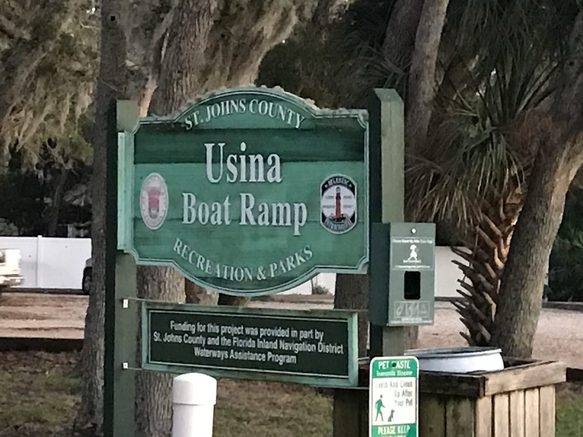
Usina Boat Ramp, one of St. Johns County's 15 free ramps (file photo). Like the Doug Crane dredging, this site's project was paid for in part by the Florida Inland Navigation District. Photo: The Eloquent Peasant / Wikimedia Commons (CC BY 4.0)
St. Augustine, Fla. - Doug Crane Boat Ramp at 1039 Shore Drive closes Monday, Oct. 26, for about six weeks while St. Johns County dredges to improve waterway access. Boaters who launch there can use any of the county's 14 other free boat ramps, including Moultrie Creek on the same road.
The whole site will be closed. "All parts of the site will be off-limits, including the parking lot," the county said.
When will it reopen?
The county said the work will take approximately six weeks. Six weeks from Oct. 26 is about Dec. 7, but that's our math, not an official reopening date.
After the ramp reopens, some work will continue in the staging area. The county says that work won't affect the ramp or access to the water.
The dredging is paid for by a grant from the Florida Inland Navigation District (FIND) plus county money.
The closure at a glance
| Item | Details |
|---|---|
| Closes | Monday, Oct. 26, 2026 |
| How long | About 6 weeks |
| Estimated reopening | Around Dec. 7 (not confirmed) |
| Why | Maintenance dredging to improve waterway access |
| What's closed | The entire site, including parking |
| Paid for by | FIND grant and county funds |
| What Doug Crane normally has | 1 ramp, a table, a portable restroom and parking |
Where to launch instead
St. Johns County runs 15 free boat ramps with saltwater and freshwater access. With Doug Crane closed, here are the other 14, grouped the way the county lists them.
West Intracoastal (same side as Doug Crane)
| Ramp | Address | What's there |
|---|---|---|
| Moultrie Creek | 4805 Shore Drive | 1 ramp, floating dock, trail network, parking |
| Vilano | 101 Vilano Causeway | 3 ramps, 2 floating docks, picnic pavilion and tables, restroom building, concessions, parking |
| Palm Valley West | 230 Lori Lane, Ponte Vedra Beach | Single access, kayak ramp, floating dock, portable restrooms, picnic tables, parking |
Moultrie Creek is the closest swap for many Doug Crane regulars, since it's on the same road. Vilano has the most ramps in the county system, with three.
East Intracoastal
| Ramp | Address | What's there |
|---|---|---|
| Boating Club Road | 615 Boating Club Road | 1 ramp, parking, trash cans |
| Frank Butler West | 400 Riverside Blvd. | 1 ramp, double access, floating dock, picnic shelters, tables, grills, trails, observation area, restrooms |
| Green Road | 180 Green Road | Single access, dock, limited parking |
| Guana State Park | N. A1A, Ponte Vedra Beach | Listed by the county as a ramp location |
| Lighthouse Park | 442 Ocean Vista Ave. | 2 ramps, dock, picnic tables, grills, water fountains, parking |
| Palmetto Road | 395 Palmetto Road | 1 ramp, dock, limited parking |
| Palm Valley | 383 S. Roscoe Blvd. | Single access, floating dock, portable restrooms, parking |
| Usina | 603 Euclid Ave. | Double access, floating dock, fishing pier, observation platform, restrooms, parking |
Green Road and Palmetto Road are both listed with limited parking, so they may fill up fast with extra boaters.
St. Johns River
| Ramp | Address | What's there |
|---|---|---|
| Palmo Road | 8600 Palmo Fish Camp Road | 1 ramp |
| Riverdale Park | 981 County Road 13, Fruit Cove | 1 ramp, tables, grills, parking, restrooms |
| Trout Creek Park | 6795 Collier Road, Orangedale | 1 ramp, grills, restroom |
These are on the river side of the county, so they make sense only if you're heading out on the St. Johns.
Picking a ramp: quick guide
| If you need... | Try |
|---|---|
| The closest swap on Shore Drive | Moultrie Creek |
| More than one ramp | Vilano (3) or Lighthouse Park (2) |
| A floating dock | Vilano, Moultrie Creek, Palm Valley West, Frank Butler West, Palm Valley or Usina |
| A kayak ramp | Palm Valley West |
| Restrooms | Vilano, Frank Butler West, Usina, Riverdale Park or Trout Creek Park (portable restrooms at Palm Valley and Palm Valley West) |
| Picnic spots | Vilano, Palm Valley West, Frank Butler West, Lighthouse Park or Riverdale Park |
| A fishing pier | Usina |
The county's list doesn't say which ramps fit which boats, so check before you tow a big boat somewhere new.
The county's 15 ramps by area
| Area | Ramps | Open during the closure |
|---|---|---|
| West Intracoastal | 4 (including Doug Crane) | 3 |
| East Intracoastal | 8 | 8 |
| St. Johns River | 3 | 3 |
| Total | 15 | 14 |
Doug Crane is one of only four West Intracoastal ramps, so its closure takes away a quarter of that side's launch sites for about six weeks (1 of 4; our math).
Before you head out
- Pick your backup now. Moultrie Creek is the nearest on Shore Drive. Vilano has the most ramps.
- Expect company. With one ramp closed, nearby ramps may be busier, especially Green Road and Palmetto Road, which have limited parking.
- Check the county's page for any other changes before you tow.
Check the weather first
The closure starts as a coastal storm winds down. A coastal flood warning and high surf advisory run through 8 p.m. Monday, Oct. 26, and a gale watch calls for 10- to 16-foot seas offshore through Monday, according to the National Weather Service and the City of Jacksonville.
St. Johns County advises boaters to postpone trips when conditions are unsafe and to monitor marine advisories. Check current conditions before launching anywhere.
Quick Q&A
When does Doug Crane close? Monday, Oct. 26.
When does it reopen? In about six weeks, roughly Dec. 7 by our math. The county hasn't set a firm date.
Can I park there during the work? No. The parking lot is closed, too.
Do the other ramps cost anything? No. The county says all 15 of its ramps are free.
How we did this
Jax Times used St. Johns County's Oct. 22, 2026, release "Doug Crane Boat Ramp to Close for Maintenance Dredging" and the county's boat ramps page, reviewed Oct. 23. Weather information comes from National Weather Service Jacksonville and City of Jacksonville advisories issued Oct. 23. The Dec. 7 estimate is our math, not an official date.
Sources: St. Johns County release (Oct. 22, 2026) and boat ramps page; NWS Jacksonville
News organizations may republish this story with credit. See our guidelines.
Know someone who'd want to read this? Email it to a friend.
Own a Jacksonville business? Introductory ad rates from $125/month. See ad optionsPlan your weekend with Jax Times
Get This Weekend in Jacksonville every Thursday: the best local events, free things to do and family fun, plus each evening's local news. Free, and you can unsubscribe anytime.
Most read this week
- Coastal Flood Warning for Jacksonville: Water Peaks Sunday and Monday Mornings in 5 Flood-Prone Areas
- Florida Is Holding $3 Billion in Unclaimed Money. Here's How Jacksonville and St. Augustine Residents Can Search for Free
- Jacksonville Fair 2026 Guide: Dates, Gate Times, Ticket Prices, Free Days and Every Concert (Nov. 5-15)
- Fire Destroys Golf Carts of St. Augustine Building on U.S. 1: What We Know, What Happens Next and 9 Golf Cart Battery Safety Rules
- New Restaurants in Jacksonville and St. Augustine: Places That Got a State License Since July (October Update)
More stories
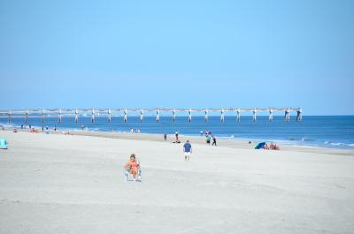 Local Jacksonville-Area Beaches Compared: Dog Rules, Parking and Fees at 7 Beaches From Hanna Park to St. Augustine Beach
 Local The St. Augustine Alligator Farm at 133: 24 Crocodilian Species, 7 Acres and a Famous Bird Rookery
 Local Big Talbot Island and Boneyard Beach: 1,680 Acres and Skeleton Oaks, 20 Miles From Downtown Jacksonville
 Local Naval Station Mayport by the Numbers: Room for 34 Ships, an 8,001-Foot Runway and 5 Former Carriers
Comments
Be respectful. No personal attacks, hate speech, spam or anyone's private information. Every comment is reviewed before it appears. Comment rules
No comments yet. Be the first to share your thoughts.