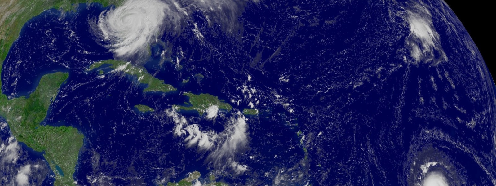
 Photo: NOAA / Wikimedia Commons (public domain)
Find Your Hurricane Evacuation Zone
Type a street address in Duval, St. Johns, Clay or Nassau County to see its zone.
Type a street address in Duval, St. Johns, Clay or Nassau County to see its evacuation zone. Know your zone before a storm is on the way: when officials order an evacuation, they name the zones that must leave.
We do not save or log the address you type.
What the zone letters mean
Florida evacuation zones run from A to F in most of Northeast Florida. Zone A covers the most low-lying areas along the coast and rivers and is the most likely to be told to leave first. Higher letters move inland and uphill. Clay County also has two special Black Creek zones. Not all zones are ordered to evacuate in every storm, and you should also leave if you live in a mobile home or a low-lying flood area when officials say so.
The Florida Division of Emergency Management says to follow all evacuation orders and to monitor local news and alerts from authorities.
Official county tools and shelters
Clay County
All of Florida
About this tool
Zones come from the Florida Division of Emergency Management statewide evacuation zone data, matched to your address with the U.S. Census Bureau geocoder. This is not an official county product. Results are for reference only and can be wrong near zone boundaries or for new addresses and streets. Confirm your zone with your county emergency management office and follow official evacuation orders.